Exploring the AQUA-SMART Atlas: One Map for the Whole Black Sea
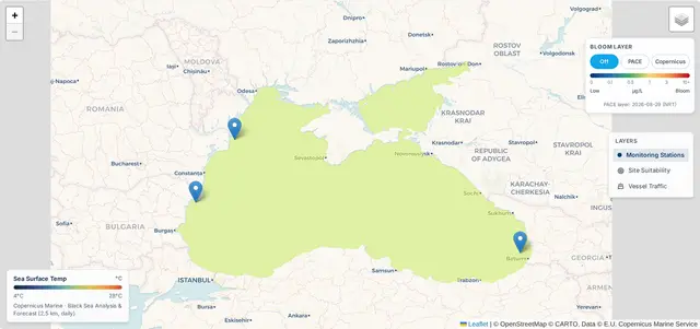
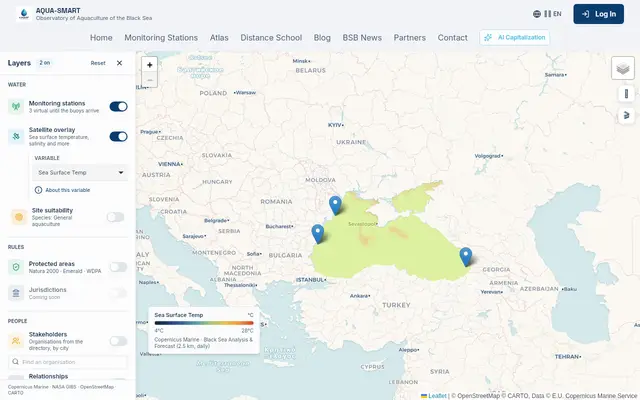
A guided tour of the Atlas with real screenshots: monitoring stations, satellite layers, site suitability scoring, protected areas, the stakeholder map and relationship lines.
Science, data and guides from the Black Sea aquaculture observatory.

A guided tour of the Atlas with real screenshots: monitoring stations, satellite layers, site suitability scoring, protected areas, the stakeholder map and relationship lines.

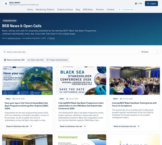
How AQUA-SMART collects Interreg Black Sea news and live Horizon Europe, Mission Ocean and water-related calls every day, with source filters, deadlines and direct links to the original pages.

A step-by-step guide with real screenshots: link your organisation, upload a logo, create departments, share Participant Identification Forms and invite colleagues from the profile or directly from chat.

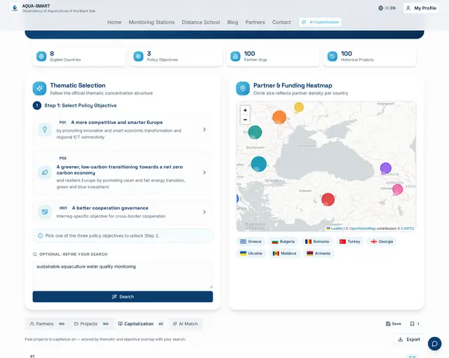
How AQUA-SMART scores hundreds of ENPI, ENI and Interreg NEXT Black Sea Basin projects against your idea, with the exact match evidence quoted for every result.

A complete developer guide to the AQUA-SMART Public REST API: endpoints, authentication, code samples, rate limits and how to request a free API key.

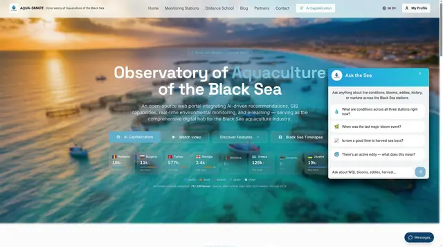
How we built a tool-augmented Gemini 2.5 Flash assistant that answers live questions about WQI, blooms, eddies and harvest timing across the AQUA-SMART stations.

A behind-the-scenes look at the satellites, in-situ sensors and models that power the AQUA-SMART Black Sea observatory, and how to interpret what you see.